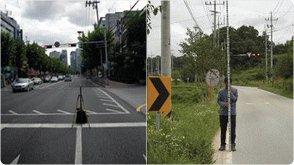
Domestic Ground Control Point Survey
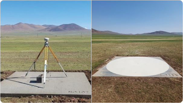
Overseas Ground Control Point Survey
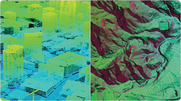
High-Precision Electronic Map Construction
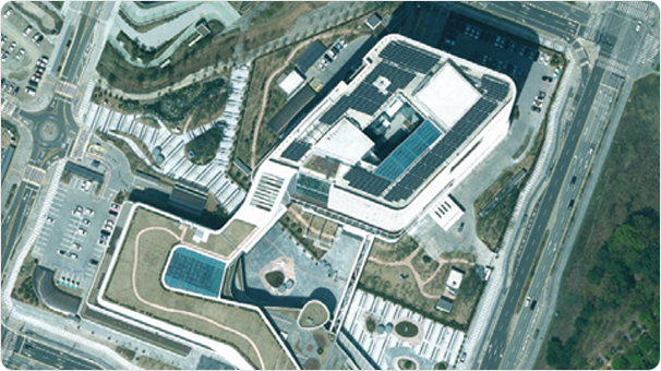
Orthophoto Image Production
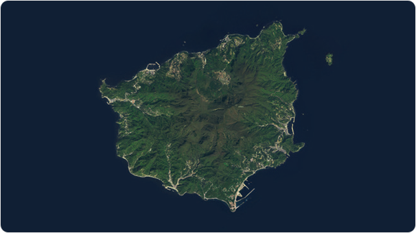
National Satellite Image Processing
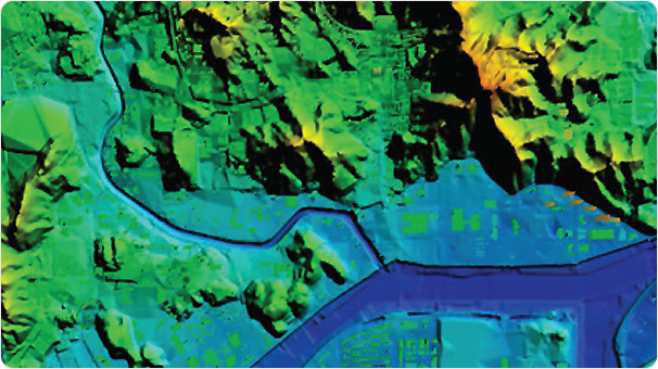
Surveying
In the era of digital transformation, including hyperconnectivity and
digital twins, AllforLand aims to synchronize reality based on smart
surveying technology, building high-precision surveying data for all
terrains and objects.
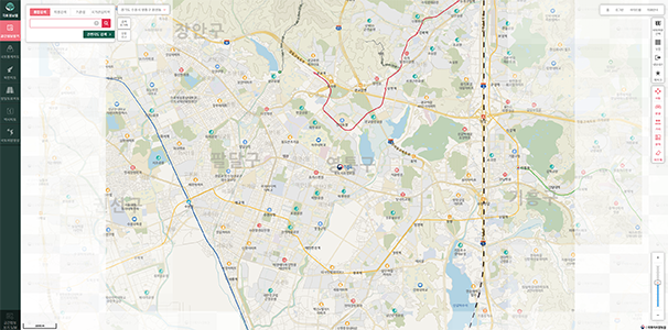
National Internet Map Construction
National Point of Interest Information Construction
North Korean Spatial Information - Digital Terrain Model (DTM)
North Korean Spatial Information - Digital Elevation Model (DEM)
North Korean Spatial Information - Orthophoto Image
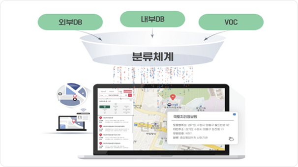
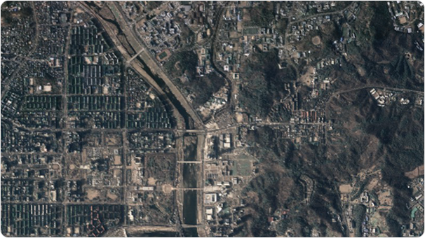
GIS DB Construction
We provide various integrated and convergent services based on
high-quality spatial information to support national-level digital
twin construction and data-driven national land monitoring.
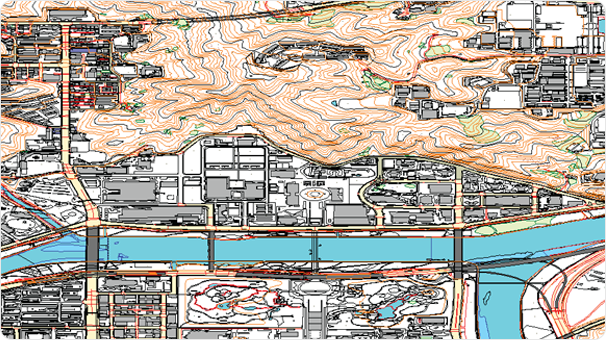
Underground Space Development
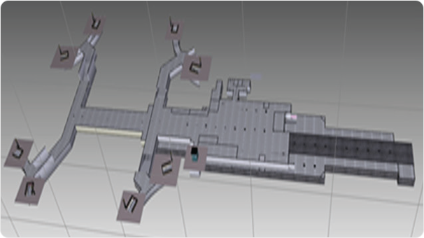
3D Spatial Information
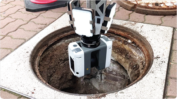
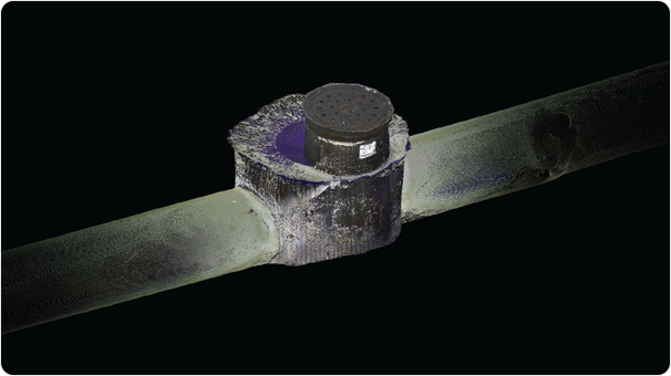
Underground Space Structure Exploration
Underground Space Facilities
Underground Space 3D Surveying
We are building 3D information on underground spaces, including
facilities, structures, and the ground, for the development, utilization,
and management of underground spaces, such as preventing ground subsidence.
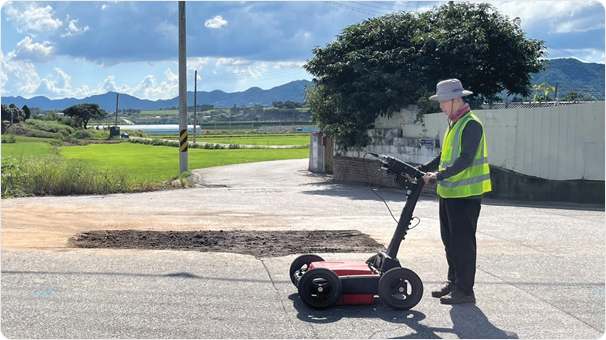
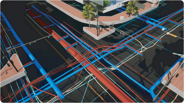
Road Location Survey
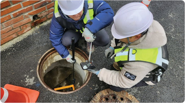
Survey of Water Supply and Sewerage Pipes' Locations
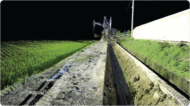
Survey of Road Infrastructure
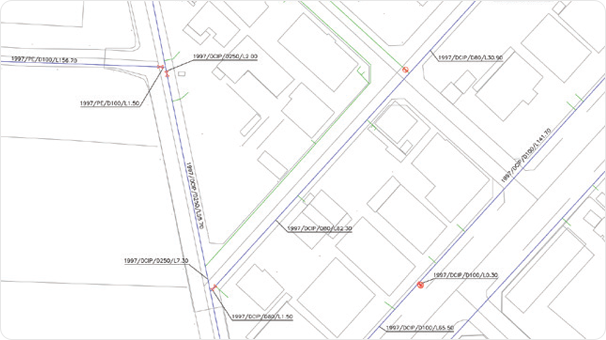
Digitization of Facility Information
Road and Underground
Facility Surveying
and Construction
By investigating and exploring the locations of roads, water and
sewage pipes, we digitize accurate facility information and manage
it systematically, creating a GIS database that can be used for
facility repair, disaster response, and various other purposes.
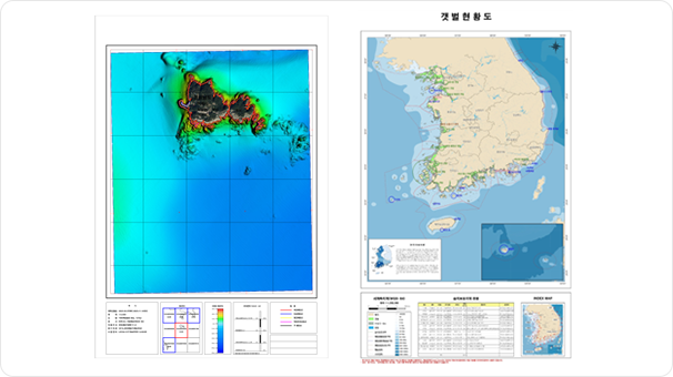
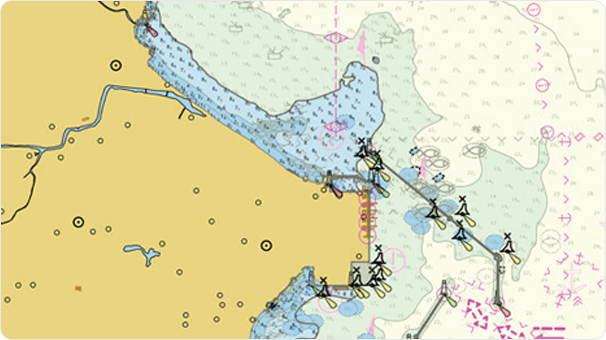
Marine Surveying and Database
Construction
_ Precision Marine Surveying and Exploration
Utilizing results from depth surveying, multibeam surveying, seabed
imaging, sub-seafloor exploration, marine surveys, and artificial reef
investigations, this data is used for safe navigation of ships, port
construction, military operations, and marine development.
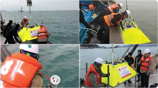
Marine Observation
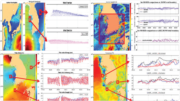
Prediction of Marine Area Characteristics
Marine Surveying
and Database Construction
_
Marine Observation and Numerical Modeling
By acquiring observation data on tidal currents, tides, and waves,
we analyze and understand the characteristics of the marine area,
providing essential information for marine forecasting and marine design.
Marine Surveying
and Database Construction
_
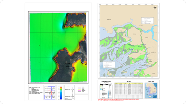
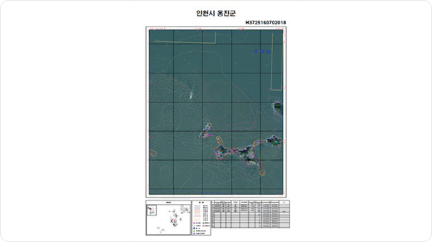
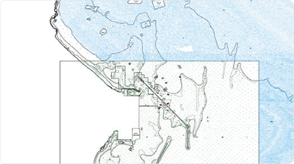
Marine Spatial Information Construction
As interest in marine areas grows across social, economic, environmental,
and political dimensions, we strive to create various thematic maps tailored
to user needs and work on expanding the integration and utilization of diverse data.